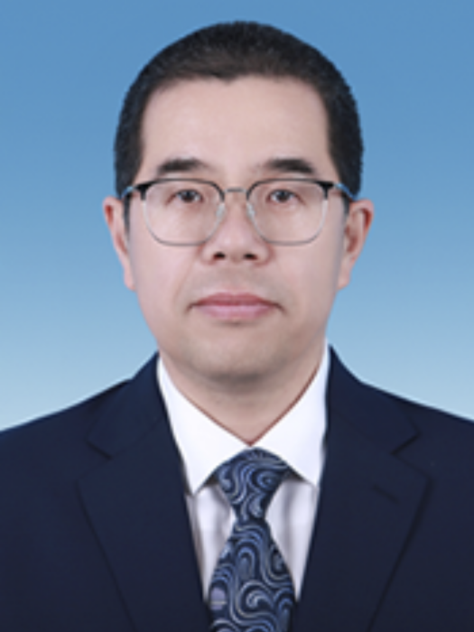
魯鵬,男,漢族,中共黨員,1978年出生,陝西富平人。
現任河南省科學院地理研究所所長。
基本介紹
- 中文名:魯鵬
- 國籍:中國
- 民族:漢族
- 出生日期:1978年
人物經歷,研究方向,主要貢獻,主要科研項目,代表性論文論著,所獲榮譽,
人物經歷
2011年9月—2015年6月 北京大學 地貌學 博士
1998年9月—2002年6月 西北大學 地理信息系統與地圖學 學士
2002年至今任職於河南省科學院地理研究所。
研究方向
主要從事地圖學與地理信息系統、遙感技術與套用、自然地理學、環境考古、數字環境考古、古環境演化與古代人地關係研究。
主要貢獻
主持國家級、省級科研項目50餘項,包括國家自然科學基金項目3項,國家重點研發計畫子課題3項,河南省科技攻關項目1項,河南省外專局國際人才合作項目3 項,其它科研合作項目40餘項。近五年來共出版專著 3 部,獲得發明專利授權2項,完成計算機軟體著作權登記7項,共發表論文60餘篇,其中SCI40餘篇。
主要科研項目
(1) 國家自然科學基金:河南賈魯河上游地區全新世早中期環境與聚落形態演化關係研究(41671014)
(2) 國家自然科學基金:環嵩山地區史前聚落分布時空模式研究(41001124)
(3) 國家自然科學基金:鄭州地區新石器-青銅時代環壕沉積模式研究(41971016)
(4) 國家重點研發計畫子課題:星機地協同典型考古遺存波普庫建設及光譜特徵分析研究(2020YFC1521901)
(5) 國家重點研發計畫子課題:中華文明起源進程中的古環境和人地關係研究(2020YFC1521605)
(6) 嵩山文化研究會重大課題:嵩山文明形成與演化中的環境基礎研究(ZD-4)
(7) 河南省科技研發計畫聯合基金:黃河流域(河南段)全新世洪水時空特徵及其影響(225200810048)
代表性論文論著
(1) Peng Lu, Junjie Xu, Yijie Zhuang, et al. Prolonged landscapestability sustained the continuous development of ancient civilizations in the Shuangji Rivervalley of China's Central Plains. Geomorphology, 2022.
(2) Peng Lu, Jianqing Lü, Yijie Zhuang, et al. Evolution of Holocene alluvial landscapes in the Northeastern Songshan Region, central China: Chronology, models andsocio-economic impact, CATENA, 2021, 199: 105125.
(3) Peng Lu; Hui Wang; Panpan Chen; et al. The impact of Holocene alluvial landscape evolution on an ancient settlement in the southeastern piedmont of Songshan Mountain, Central China: A study from the Shiyuan site. CATENA, 2019, 183: 104232.
(4) Lu Peng, Chen Panpan, Tian Yan, et al. Reconstructing settlement evolution from neolithic to Shang dynasty in Songshan mountain area of central China based on self-organizing feature map. Journal of Cultural Heritage, 2019, 36: 23-31.
(5) Lu P, Tian Y, Storozum M, et al.. Shifting Patterns of House Structures during the Neolithic-Bronze Age in the Yellow River Basin: An Environmental Perspective. Land, 2021, 10, 574.
(6) Guolong Chen, Peng Lu, Ruixia Yang, et al. How Can We Understand the Past from Now On? Three-Dimensional Modelling and Landscape Reconstruction of the Shuanghuaishu Site in the Central Plains of China. Remote Sensing, 2022.
(7) Chen Panpan, Lu Peng*, Yang Ruixia, et al. 3D modeling of the impact of ancient Yellow River floods on urban landscapes: A new look at the late imperial landscape at the Shuntianmen Site of Kaifeng City, Henan Province, China. Geoarchaeology, 2022.
(8)Yinan Liao, Peng Lu*, Duowen Mo, et al. Evolution of fluvial landscapes since the late Pleistocene at theWangchenggang site of theYing River Basin, Central China: Implications for the development and Change of prehistoric settlements. Geoarchaeology, 2022
(9)Li Ye, Lu Peng*, Mao Longjiang, et al. Mapping spatiotemporal variations of Neolithic and Bronze Age settlements in the Gansu-Qinghai region, China: Scale grade, chronological development, and social organization. Journal of Archaeological Science, 2021.
(10) Lijie Yan, Peng Lu*, Panpan Chen, et al. Towards an Operative Predictive Model for the Songshan Area during the Yangshao Period. ISPRS International Journal of Geo-Information, 2021.
(11) Chen Panpan, Lu Peng*, Yang Shugang, et al. The Impact of Ancient Landscape Changes on the City Arrangement of the Early Shang Dynasty Capital Zhengzhou, Central China. Frontiers in EarthScience, 2021.
(12) Zhang Li, Lu Peng*, Raymond Lau, et al. Unique traditional villages on the Loess Plateau of China: historic evolution and challenges to sustainable development of silo-caves. Heritage Science, 2021.
(13) Yan Tian, Panpan Chen, Peng Lu*, et al. Evolution of Influence Ranges of Neolithic-Bronze Age Cities in the Songshan Mountain Region of Central China Based on GIS Spatial Analysis. Remote Sensing, 2022
(14) Tian Y, Chen P, Lu P*, et al. Basin-Scale Reconstruction of Late Pleistocene-Holocene Fluvial Landform Evolution and its Mechanisms in Transitional Areas Between Taihang Mountain and North China Plain. Palaeogeography, Palaeoclimatology, Palaeoecology, 2024, 634: 111944.
(15) 魯鵬, 許俊傑, 王霞, 等. 嵩山地區全新世植被演化研究進展與展望. 地理科學, 2022.
(16) 魯鵬, 田燕, 楊瑞霞. 環嵩山地區9000—3000aBP聚落規模等級研究. 地理學報, 2012, 67(10), 1375-1382.
(17) 魯鵬, 田燕. 環嵩山地區史前聚落演替模式及其與地形的關係. 第四紀研究,2013, 33(5), 965-971.
(18) 魯鵬,田燕,陳盼盼, 等.環嵩山地區史前聚落分布時空模式研究. 地理學報, 2016, 71(9): 1629-1639.
(19) 魯鵬, 陳盼盼,田燕, 等. 嵩山地區新石器-青銅時代人地關係. 河南大學出版社, 2023.
(20) 胡秀, 魯鵬*, 李有利, 等; 史前地震加速早期中國“河洛古國”的衰落. 中國科學: 地球科學, 2023.
(21) 魯鵬. 環嵩山地區史前聚落分布時空模式及其形成機制. 科學出版社, 2017.
(22) 楊瑞霞, 魯鵬. 數字環境考古理論與實踐. 科學出版社, 2013.
(23) 陳盼盼, 魯鵬, 田燕, 等. 一種基於多視角影像與雷射掃描的考古發掘探方序列三維可視化方法, 2017-9-1, 中國, ZL201610058098.5 (專利).
(24) 魯鵬, 陳盼盼, 張興國, 等.一種多攝像機協同的地理視頻直播流生成方法, 2022-8-9, 中國, ZL202010941373.4(專利).
所獲榮譽
獲得河南省科技進步二等獎1項,河南省科技進步三等獎3項。
(1) 文化遺址多源空間信息獲取模式與三維重建, 河南省科技進步二等獎,2016年(排名第1)
(2) 早期聚落分布時空特徵挖掘與分析,測繪科學技術二等獎,2021(排名第1)
(3) 大遺址考古資料整理與數位化平台研究與示範-以鄭州商城遺址為例,河南省科技進步三等獎,2017(排名第3)
