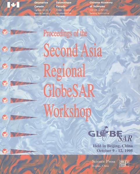
《Proceedings of the Second Asia Regional GlobeSAR Workshop》是1996年1月科學出版社出版的圖書,作者是F.H.A.Cambell。
基本介紹
- 書名:Proceedings of the Second Asia Regional GlobeSAR Workshop
- 作者:F.H.A.Cambell
- 出版社:科學出版社
- 出版時間:1996年1月
- ISBN:7030058453
內容簡介,圖書目錄,
內容簡介
It is difficult to believe that it was only three years ago that we met in Bejing to held the first discussionsabout a possible GlobeSAR program. With the support of Chinese and Canadian government, the Institute ofRemote Sensing Applications and Canada Center for Remote Sensing worked closely again and successfullyhold the Second Asia Regional GlobeSAR Workshop on 9 - 12 October, 1995, during the golden season ofBeijing, now we delivery this proceedings to you to share our knowledge and results with you, with the restof the world.GlobeSAR would not have been possible without the cooperation of countries throughout the world, and inparticular in the Asian region. For example, for the first time ever, China and Vietnam allowed foreign air-craft to colleet data over their territory. All of countries in the region have agreed to share the data and re-sults with others. It is a concrete example of how technologies can be shared. This in turn leads to advance-ments in technology which benefit all countries in the region.The GlobeSAR program is an essential stepping stone to introducing the international community to thecapability and valuc of RADARSAT. The data collected during GlobeSAR has been important both indemonstrating the capabilities of RADARSAT, and developing expertise and awareness in users in order toenable them to take advantage of the information in RADARSAT imagery. The multiparameter airborneSAR imagery ollected in Asia has already been shown and published all over the world.Any program is measured by results. For those who were in Bangkok last year, you will already knowmuch of the success that has been achieved already. But, in this proceedings, you will all see that there ismuch more and updated results. During the four-day workshop, representatives from four GlobeSAR partici-pating countries presented their progress and results of the GlobeSAR project, covering a wide range of topicson theoretical research, SAR data processing techniques, and application results in agriculture, forestry, hy-drology,geology, archaeology and tourism planning, and representatives from other countries gave anoverview of activitics in remote sensing with emphasis on radar remote sensing in their own countries. Therewere also some technical sessions. The workshop was a good forum for exchanging our latest research resultsand discussing the potentials of remote sensing in resource management and environmental monitoring.The contribution and hard work of the scientists and officials involved in the GlobeSAR program made itthe largest radar applications development program ever undertaken and ensure the success of the GlobeSARprogram in ten countries. The participants from seventeen countries in Asia and pacific region made the Sec-ond Asia Regional GlobeSAR Workshop successful, the contribution of all of the authors made the proeed-ings a very fruitful book to read. We are sincerely appreciate their contribution. We hope you will find thisbook is informative.
圖書目錄
Foreword The Editors
Acknowledgments F.H.A.Campbell
Contents
Radar Remote Sensing in China H.D.Guo
Overview of the GlobeSAR Program in Malaysia N.N.Mahmood,L.K.Fook,Adnan Ismail
Microwave Remote Sensing in Thailand:Overview V.Suvit,S.Chaowalit
Imaging Radar Application in Bangladesh:An Overview A.M.Sardar
Use of Microwave Data in Pakistan A.Rangoonwala,J.Ali,S.Ahmed
Remote Sensing in India:Achievements and Future Plan J.S.Parihar
Overview:Progress of SAR Remote Sensing Data Applications in Indonesia M.Kusumowidagdo
Remote Sensing Applications in Kuwait A.Y.Kwarteng
Update on the Use of Radar Technology in the Philippines J.Solis
Remote Sensing Activities in Different Organizations in Nepal P.K.Mool,K.P.Poudel,S.R.Bajracharya
Singapore Report:Status of Remote Sensing Ground Station C.N.Kun
Classification of Landuse in Kedah,Malaysia,Using Fractal Analysis H.T.Ewe,H.T.Chuah,W.Y.Chin,A.Ismail,K.F.Loh,N.Nasruddin
Correction of Multi-Polarized GlobeSAR Data for Land Use Mapping Around Zhaoqing City X.Q.Lu,Y.Shao
Evaluation of SAR for Agricultural Landuse C.Mongkolsawat,P.Thirangoon,R.Chokchai,C.Kriangsak
The Neural Net Classifier Applied to the GlobeSAR Data for Land Use Mapping H.Liu,Y.Shao
Evaluation of GlobeSAR Data for Land Use/Land Cover Classification in Coastal Zone,Narathiwat Province,Thailand C.Suthep,D.Dara
GlobeSAR Data for Agriculture Applications—Potentials and Limitations Y.Shao,H.D.Guo,H.Liu,X.Q.Lu
Integration of Geophysical Data with SAR Imagery to Study the Structural Geology of the Cao Bang Area P.V.Cu,D.V.Khac,D.V.Toan,
GlobeSAR RTP Data Quality and Applications in Southern China C.Wang,H.D.Guo
Applications of GlobeSAR Data as Input for Development Planning of the Songkhla Lake Basin M.Weerapant,P.Supapis
Forest Type Discrimination in the Northeast of Shihui Area Using GlobeSAR Data J.J.Liao,H.D.Guo,H.Liu
Forest and Coastal Zone Monitoring Using Airborne SAR Imagery C.Thongchai,O.Suwit,R.Surachai,S.Chaowalit
Evaluation of SAR Data for Land Use/Land Cover and Forestry in Nakhon-Sithammarat O.Manu,B.Damrong,P.Adisak
Preliminary Results of Airborne SAR Applications for Forest,Land Use and Topographic Mapping in the Endau Region,Peninsular Mal
An Archaeological Application of Synthetic Aperture Radar(SAR)in Thailand W.Punnee
Application of Calibrated GlobeSAR C-HH Data to the Investigation and Planning of Tourism Resources in the Luoding Area,Guangdo
Archaeo-Geomorphic Feature Observation Using SAR Imagery in Sukhothai,the Ancient Capital of Thailand T.Supajanya,K.Vichapan,S.
Remote Sensing Activities in Bangladesh and the Need for SAR Data A.H.Howlader,A.M.Sardar,M.A.Shahid
Microwave Remote Sensing Research at the University of Malaya,Malaysia H.T.Chuah,H.T.Ewe,B.K.Chung
Illposedness in SAR Data Inversion J.F.Li
Research on the 3D Modelling Technology of Objects in Remote Sensing and GIS Q.S.Pan
A Distributed SAR Processing System Based on the PVM Framework J.S.Chong,H.L.Peng,W.M.Liu
Polarization Index Transformation and its Application in SAR Image Classification G.L.Tian,J.F.He,C.H.Dong,W.Li
Analysis of Multi-Temporal JERS-1 SAR Data for Forest Mapping over Zhaoyuan,Longkou Counties of China Z.Y.Li,L.N.Bai,X.J.Che,E.
SAR Observations of Coastal Ocean Features in China W.G.Huang,Y.Li,C.B.Zhou
Study of Oceanic Shallow Bottom Topographic Features and Bathymetry with ERS-1 SAR C.B.Zhou
Poyang Lake Drainage Area Flood Monitoring Using the Aerial Radar Remote Sensing Technical System J.H.Li,X.N.He
A Study on Soil Moisture Monitoring Using Airborne SAR Data X.C.Li,X.M.Yang
List of Participants for the Second Asia Regional GlobeSAR Workshop
